



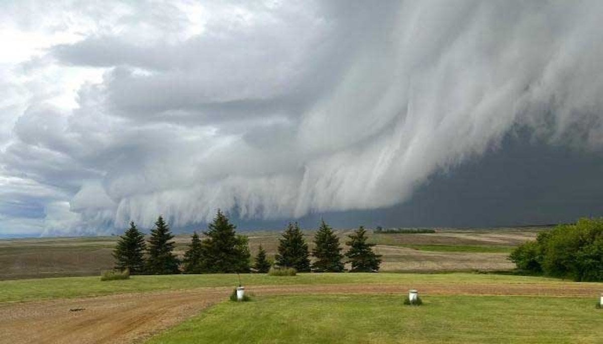

The risk of severe thunderstorms will continue across parts of Saskatchewan overnight, with forecasters warning that damaging winds and large hail remain possible as stormy conditions persist across the Prairies.
According to The Weather Network, storms that developed on Wednesday prompted tornado watches across parts of Saskatchewan.
While those watches were expected to end later in the evening, the threat of severe weather was forecast to continue after sunset.

Forecasters said storms could organise into a linear mesoscale convective system overnight, bringing wind gusts of up to 110 km/h t o areas including Regina and Saskatoon.

The severe weather threat is expected to continue into Thursday as a surface low deepens and moves into Manitoba’s Interlake region.
The Weather Network said conditions will be favourable for more severe thunderstorms capable of producing large hail and damaging winds.
A few supercell thunderstorms could also develop east of Calgary before tracking into southern Saskatchewan during the late afternoon and evening.
Large hail is currently considered the main hazard, although forecasters said there is still uncertainty over the exact timing and intensity of the storms.
Residents are being urged to stay informed as forecasts may change and weather alerts could be updated as conditions develop.


