




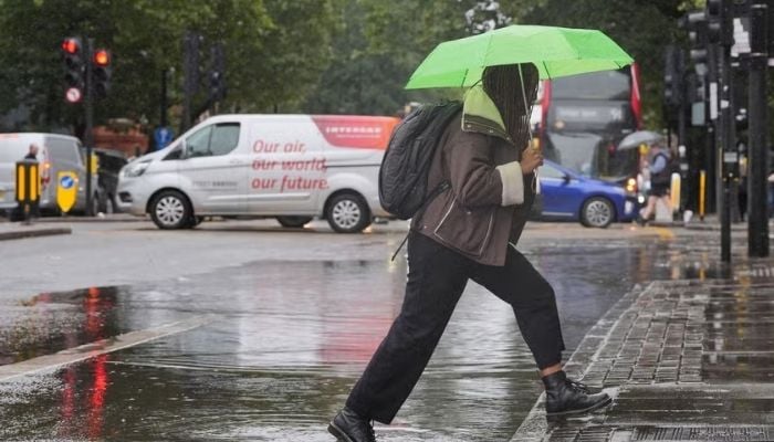
The Met Office has issued a fresh yellow thunderstorm warning for 64 areas across the UK, urging the residents to be prepared as heavy and torrential rains could spark flooding.
The Office issued a warning for several major cities, including Manchester, London, Birmingham, Sheffield and Leeds, which is going to be in place from 12pm until 9pm.
Thunderstorms are forecast to develop from noon, primarily impacting northern England, Wales, and central and eastern England, bringing a real possibility of flooding for homes and businesses.
Repeated downpours could drop up to 40mm of rain in localized spots, while lightning and hail are expected to create additional hazards and disrupt travel.

The residents of these areas have been instructed to prepare an emergency food kit including the basic supplies such as batteries, torches, key documents and food, water and medication if the locations in question are at the high risk of flash flooding.

As per the warning, thunderstorms are expected to develop during Friday afternoon and evening.”
“The focus of showers and thunderstorms will be northern England and much of Wales during the early afternoon before extending over central and eastern England through the afternoon,” the Met Office’s warning reads.
“Thunderstorms will bring 10-20mm of rain in a short period in a few places with 30-40mm possible should anywhere see repeated downpours. Lightning and hail will be additional hazards in a few locations.”
Speaking about the travel disruption, the statement mentioned the driving conditions will be affected by standing water or hail. Even the train delays can also be expected.
Even the flooding can cause damage to infrastructure, few buildings and structures from lightning strikes.
“Some short-term loss of power and other services is possible.”

